We model the world from the ground up
We resolve bare earth at 10 m everywhere on land, year by year, forecast the urban fabric that grows on it and predict how people move through it. Together, they connect the physical world with human activity.
The layers that shape the world
The ground
One surface for the whole planet, at 10 m.
Our global digital terrain model resolves bare earth at 10 m, consistently across every land surface. Measured against 1 m LiDAR, we beat the best public global data on every metric we test, halving the error on shape, slope and aspect. It recovers a third of the drainage detail that only the LiDAR captures.
Find out more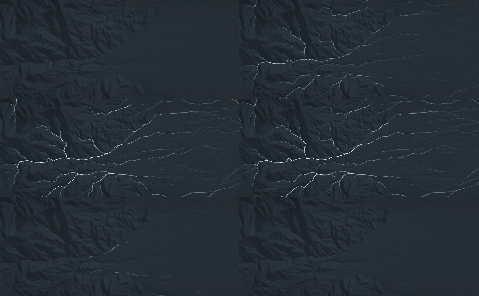
Rainfall simulation over Death Valley using our 10 m digital terrain model.
What gets built next
Tomorrow's exposure isn't on today's map.
Flood, heat and air quality models all run against the buildings that exist today. Our urban fabric model predicts how a city will develop, driven and validated by the 40-year global settlement history we've produced.
Find out more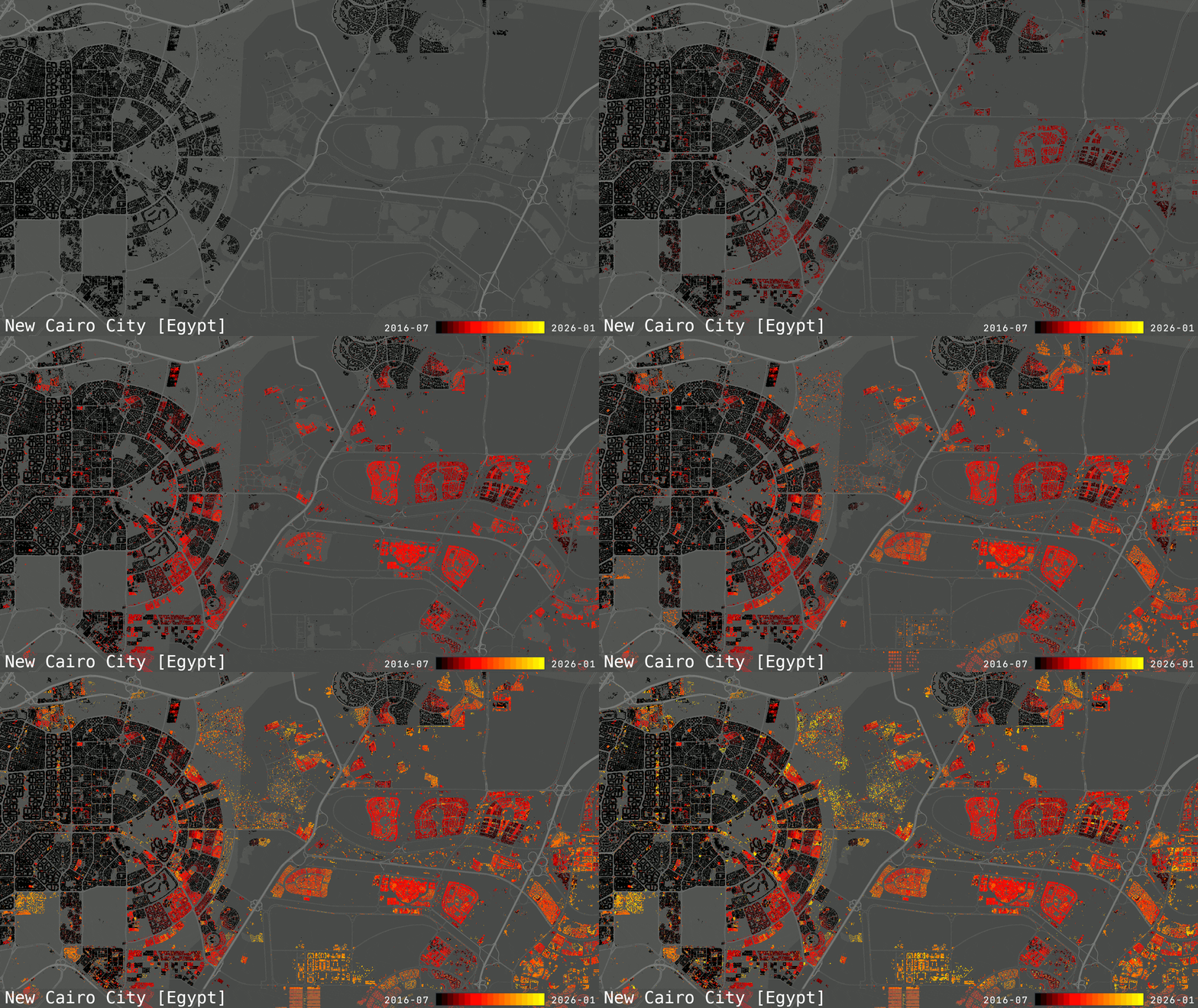
Urban expansion in New Cairo, Egypt, from 2016 to 2026.
A dynamic population
Risk finds people where they are, not where they live.
Heat, traffic and air pollution all peak in the middle of the day, when a large share of the population is somewhere other than home. We model where people actually are and how they travel through the city, from high-frequency location data. The mix of residents, commuters and visitors changes from place to place, by hour, by day and by season.
Find out more
Modelled mobility flows across Milan, Italy.
What people do
Where people are tells you only part of the story.
Location shows where people are, but not who they are or how they behave. We combine location, socio-demographic and behavioural data to understand how people use places. Where they spend time, how long they stay and how often they return reveal different patterns of work, shopping and leisure. Those patterns change by place, time and circumstance.
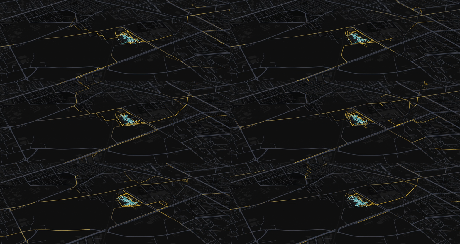
Modelled human activity patterns around a shopping area.
Who we work with











Bring us a place you want to understand better
Tell us what you want to know about it: how it has changed, where people are or what might happen next. We'll show you what our models can tell you.